
Level Ascent Solutions
Your strategic partner for project success by providing the latest UAS technology to capture photogrammetry, 2D/3D mapping, thermal scanning, and infrastructure mapping.
Elevating lives through teamwork, technology, and efficiency.
Game-Changing AI Analytics
Precision data capture meets intelligent processing — transforming raw aerial data into actionable insights.
Powered by 
Our data capture methodology leverages cutting-edge AI technology through our partnership with KeenAI. This collaboration ensures precise, efficient data processing that empowers our clients with actionable insights for informed decision-making across every project.
How It Works
From initial consultation to final deliverables — a streamlined process powered by advanced technology.
Consultation
We assess your project needs, define scope, and create a tailored flight plan for optimal data capture.
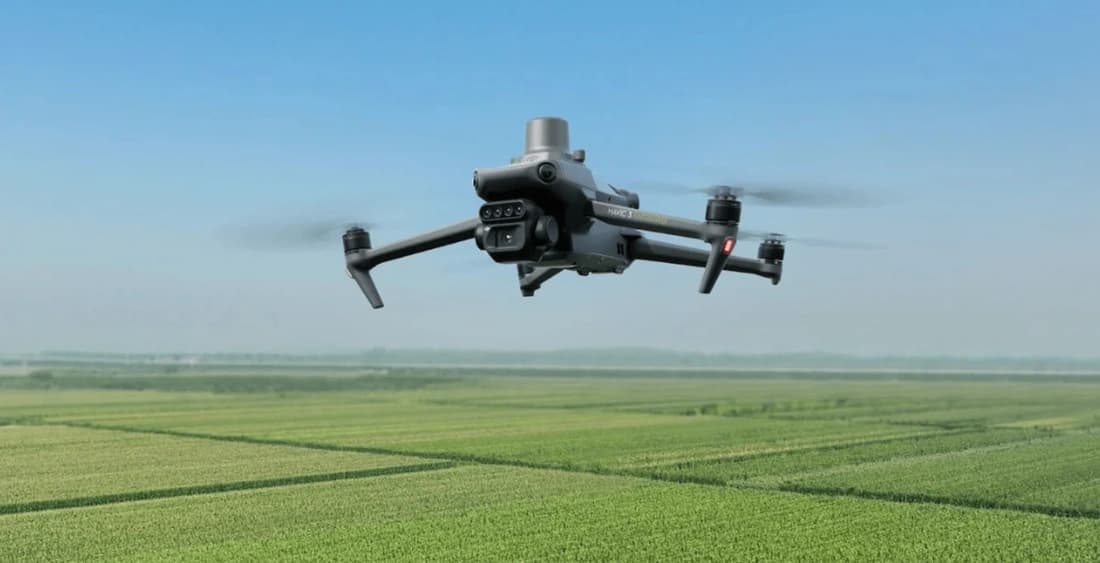
Data Capture
Our FAA-certified pilots deploy advanced UAS platforms to collect high-resolution aerial imagery, LiDAR, and thermal data.
AI Processing
KeenAI-powered analytics transform raw data into precise 2D/3D maps, orthomosaics, and actionable insights.
Deliverables
Receive comprehensive reports, interactive maps, and visual assets ready for immediate decision-making.
Why Choose Level Ascent?
As a female-owned business, we bring dedication, precision, and innovative solutions to every project — prioritizing your success at every altitude.
Women-Owned & WBENC Certified
Bringing a fresh perspective and diverse leadership to the UAS industry — certified and committed.
FAA Part 107 Certified Pilots
Every mission flown by licensed, experienced pilots meeting the highest federal safety standards.
Reduced Environmental Impact
Drone-based solutions minimize footprint while maximizing data quality — efficient, clean, and precise.
AI-Powered Data Processing
KeenAI partnership delivers intelligent analytics — turning aerial data into decisions faster.
Multi-Industry Expertise
Utility, real estate, construction, public safety — we adapt precision aerial solutions to any sector.
Timely, Quality Deliverables
On-time delivery of high-resolution data, maps, and reports your team can act on immediately.
Solutions by Sector
From real estate to public safety, we deliver precision aerial solutions tailored to your industry.
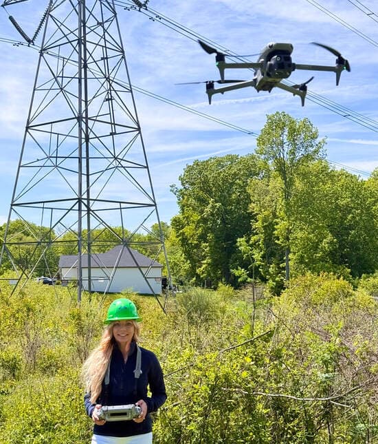
Energize your safety and efficiency
Precise surveying of infrastructure and mapping, transmission and distribution line inspection, and construction support — all from the air.